
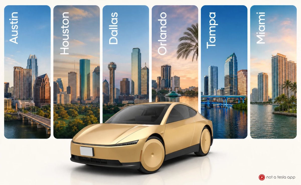
Mercados de Robotaxi de Tesla: geocercas de 23,6 a 1.098,4 millas cuadradas
El programa de transporte autónomo bajo demanda de Tesla se ha expandido desde un proyecto piloto en Austin hasta una red comercial que abarca siete grandes áreas metropolitanas de EE. UU. En las pruebas iniciales, había monitores de seguridad en el asiento del conductor o del pasajero, pero varias regiones ya ofrecen un servicio totalmente autónomo, mientras que en un mercado aún se requieren monitores a bordo.
Para los pasajeros, la disponibilidad depende de la ubicación. A continuación, se presenta un resumen mercado por mercado de los siete territorios activos, sus áreas delimitadas por geocercas y los tipos de vehículos en uso.

Austin, Texas: 246 millas cuadradas

Austin es el principal centro de pruebas y el mercado más adaptable. La geocerca abarca 246 millas cuadradas (637 km²) y cubre gran parte del núcleo urbano, desde el norte de Austin y Tech Ridge hasta el sur de Austin y Del Valle, con límites aproximados a lo largo de la autopista 183, la autopista 71 y la carretera estatal 130.
Cuando se lanzó como versión beta en junio de 2025, el servicio cubría apenas 20 millas cuadradas. Desde entonces, ha crecido hasta superar en más de 12 veces su tamaño original, gracias a varias ampliaciones; la más reciente tuvo lugar el mes pasado. Austin también es la primera ciudad donde los pasajeros pueden pedir Cybercabs sin volante, además de robotaxis Model Y sin supervisión. Los Cybercabs ofrecen tarifas más bajas por milla en los corredores del centro, East Riverside y zonas suburbanas cercanas.
Área de la bahía de San Francisco, California: 1.098,4 millas cuadradas

El norte de California es el mercado más extenso por superficie, con 1.098,4 millas cuadradas (2.845 km²). La cobertura va desde Richmond, Berkeley y Oakland, en East Bay, pasa por Fremont y Milpitas hasta llegar a San José, y atraviesa la península por Palo Alto, San Mateo y Daly City hasta San Francisco. El servicio incluye los aeropuertos internacionales de San Francisco y San José.
A diferencia de Texas y Florida, aquí las operaciones se limitan a vehículos Model Y con monitores de seguridad a bordo, mientras las agencias estatales tramitan las autorizaciones para ofrecer un servicio comercial sin conductor. Por ahora, el DMV de California solo le ha otorgado a Tesla un permiso de pruebas que exige la presencia de un conductor, aunque el vehículo conduzca por sí mismo.
Dallas, Texas: 31 millas cuadradas

El servicio en Dallas abarca 31 millas cuadradas (80,1 km²), con centro en el distrito Downtown y extensión hacia el norte por Oak Lawn, Highland Park, University Park y Bluffview. El límite bordea Dallas Love Field por el oeste y Lower Greenville por el este.
Los viajes se realizan sin supervisión con vehículos Model Y adaptados, que conectan importantes zonas comerciales y centros de salud, como Parkland Health.
Houston, Texas: 25 millas cuadradas

La zona de servicio de Houston, de 25 millas cuadradas (64,6 km²), se encuentra en el noroeste de la ciudad e incluye Jersey Village, Harvest Bend, Windermere Lakes y North Houston Gardens. Se extiende a lo largo de la autopista 290 y llega hasta las inmediaciones del centro comercial Willowbrook Mall, cerca de la carretera estatal 249.
Los viajes se realizan sin conductor en vehículos Model Y por barrios residenciales y corredores comerciales cercanos.
Miami, Florida: 30,8 millas cuadradas

Miami es el primer mercado de la empresa en el sureste del país, con un corredor de 30,8 millas cuadradas (79,9 km²). La geocerca se encuentra justo al oeste del centro, rodea el Aeropuerto Internacional de Miami y se extiende hacia el sur hasta Coral Gables; sus límites son las autopistas 836 y 41.
Los viajes en Model Y se realizan sin conductor de seguridad y atienden a los viajeros del aeropuerto y a los distritos comerciales cercanos.
Orlando, Florida: 26,2 millas cuadradas

La geocerca de Orlando, de 26,2 millas cuadradas (67,9 km²), abarca barrios del este, justo al norte del Aeropuerto Internacional de Orlando, como Conway y Azalea Park, y cubre zonas a lo largo del bulevar Semoran (carretera estatal 436). La carretera estatal 408 marca el límite norte y la 417, el límite este. El servicio funciona sin supervisión.
Tampa, Florida: 23,6 millas cuadradas

La zona de servicio de Tampa abarca 23,6 millas cuadradas (61,2 km²) al este del Aeropuerto Internacional de Tampa e incluye Egypt Lake-Leto, Old Seminole Heights y Tampa Heights. Se extiende hacia el borde norte del centro, cerca de la interestatal 275 y la autopista 92. Los pasajeros pueden solicitar viajes sin supervisión en vehículos Model Y.
Listo para crecer con FSD v15
Aunque estas geocercas parecen pequeñas en comparación con las de competidores consolidados como Waymo, sirven como zonas de validación específicas antes de una expansión más amplia.
Tesla planea lanzar FSD v15 para la flota de Robotaxi en octubre. El software incorpora una red neuronal de 10.000 millones de parámetros —frente a los aproximadamente 1.000 millones de las versiones actuales— y se espera que permita ofrecer servicio las 24 horas.
La empresa ha señalado que FSD v15 será clave para ampliar Robotaxi a decenas de mercados adicionales. Se prepara para llevar el servicio a Las Vegas, Nevada, y Phoenix, Arizona, y también considera otras ciudades de estados donde Robotaxi ya opera. A medida que se acumulen millas recorridas con fines comerciales, se espera que las geocercas existentes se amplíen y se añadan otras nuevas.


Compartir:
Alemania fija para diciembre de 2026 la votación de la UE sobre el FSD (Supervisado) de Tesla
Consenso de Tesla para el tercer trimestre de 2026: 461.974 entregas y 15,9 GWh de almacenamiento